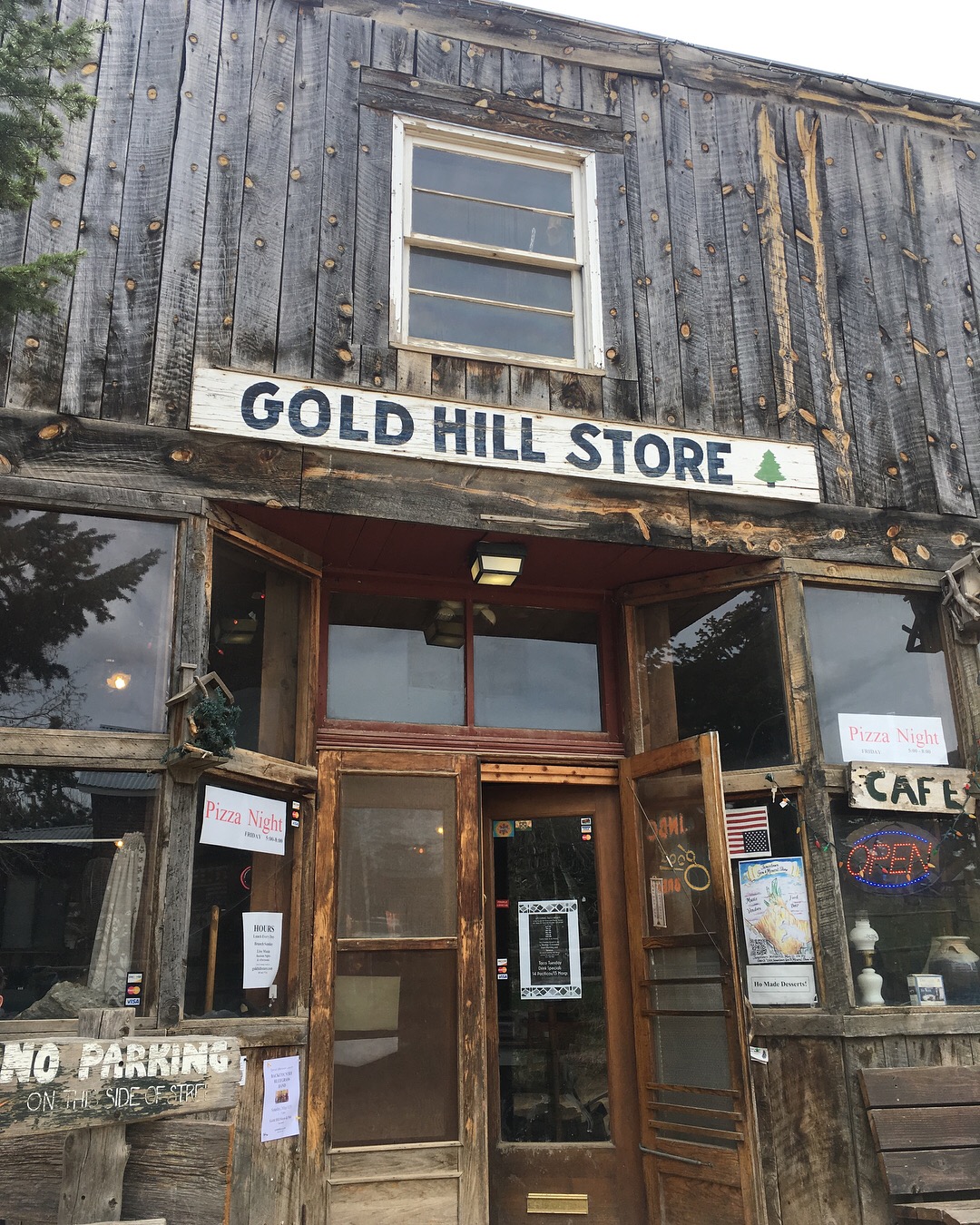
Ten miles outside of downtown Boulder, Colorado is a step back in time. Mapleton Avenue changes to Sunshine Canyon Drive; after about 6 miles of winding pavement, it switches to dirt, and then gravel. By the time you reach Gold Hill, you've climbed over 3,000 feet. A sign greets travelers with all the relevant statistics: Established in 1859, elevation 8,463 feet, population 118. There's a store and an inn and a school. There are old dogs wandering the road. There's probably some lingering snow piled up. Cyclists know to stuff a jacket in their pocket as it's usually 10-20 degrees cooler up top.
There are several options up to the old mining town: a road from all four directions. I've climbed up two of the roads, descended one, and still have one on my list. Lickskillet is the steepest county road in the United States, and after going down twice on a road bike, it's still solidly outside of my comfort zone. Even riding the breaks the entire way, you slide and skid down the gravel. It's one-mile of between 15-20% grade. But, it empties onto the smooth-as-pudding Lefthand Canyon Drive, where coasting back to town at 30 mph feels absolutely luxurious.
I recently "raced" the pavement of Sunshine Canyon, which means I went all-out and had an average pace of just 8 mph. Then I meandered the rest of the way on the dirt to the top. I can't really explain why I love these mining towns so much. The thin air, the reminders of striking it rich, the old general store that's been selling coffee and treats for over 150 years: it all feels like a treasure--like I've done something impressive just in getting here.
I can't wait to keep climbing these roads. Eventually I'll make it up Lickskillet. Eventually I'll take the longest route and hit two mining towns in one trip. There's still gold up here: even just in the experience of the trip.


