Groads

Sunshine Canyon--Gold Hill--Jamestown--Boulder

IMG_0256.JPG

Earlier this year I talked about Gold Hill, and how I needed to try biking all 4 roads that ended in this tiny mountain town. I recently crossed another one off the list.

Fall is really settling in to Boulder County, and this week we’ve seen temperatures dipping into the 40s over night and in the morning. I love this weather. Starting in the 40s and ending in the 70s is perfect, in my opinion.

IMG_0258.JPG

I set out for Gold Hill with a goal to continue on through town all the way to Highway 72 (this isn’t an actual highway, just a larger/paved road at the end of a lot of tiny gravel/dirt roads). I wore a medium-weight long-sleeved jersey and medium-weight gloves, but short bibs. It was 45 when I started at 7:30am, but I knew that if I did the entire ride, I’d get hot if I layered too much. I was really never cold: the sun beamed for the entire ride.

IMG_0245.JPG

After reaching Gold Hill (which alone is a decently tough HC climb from Boulder), the road narrows slightly and continues to climb. I wasn’t sure exactly how far it was to reach 72, but I figured around 5 miles…It was more like 7.5. Sometimes I like not knowing, and sometimes not knowing is torture.

IMG_0251.JPG

After 5,500+ feet of climbing (to around 10,000 feet) I took 72 past Ward and descended back to Boulder via Jamestown. They recently finished paving most of Overland Road, and it is like silk (especially after 17 miles of gravel!) My final climb was Olde Stage, which looks like a speed bump on the Strava report after doing Gold Hill!

Cheers to more epic fall rides!

Do it: Old Fall River Road

IMG_9724.JPG

Old Fall River Road has been on my list of rides since I got a gravel bike, and it did not disappoint. Built in 1920, Old Fall River was the first road through Rocky Mountain National Park. Very little has been updated to this road, which makes it extra special. Mostly dirt/gravel, there are no guard rails, and very little signage. The road is one-way...straight up, with 16 switchbacks, and not much room, even to pass a bike. At times the grade is up to 16%, though most of the time it's more like 7%. The last push is the toughest, as it climbs to nearly 12,000 feet. 

IMG_9705.JPG

I parked at the Fall River Visitors Center on 34 just before the park entrance. I clipped in at just before 8am on a Friday. There was no line at the gate, and I was probably only passed by 6 cars for the 11-mile dirt climb. The sky was blue, the wind was calm, and the pines smelled amazing. The road passes back and forth over Fall River, and you can always hear the water and a few small falls as background music. I only saw small critters: beaver and chipmunks, and could hear the pikas chirping. 

IMG_9713.JPG

Once I got to the Alpine Center, the wind turned up. The climb to Rock Cut (at 12,090 feet) on Trail Ridge was a little scary: gusts were pretty significant. But after I passed Rainbow Curve, the descent was fast and fun. When I set out for the ride it was 51-degrees. I'd estimate it was probably around 40-degrees at the top, and by the time I was back down to 8,000 feet, it was nice and warm. 

IMG_9722.JPG

The next time I do this climb I want to leave even earlier: truly have the dirt to myself at sunrise. 

Do It: Gold Hill, Colorado

IMG_7550.JPG

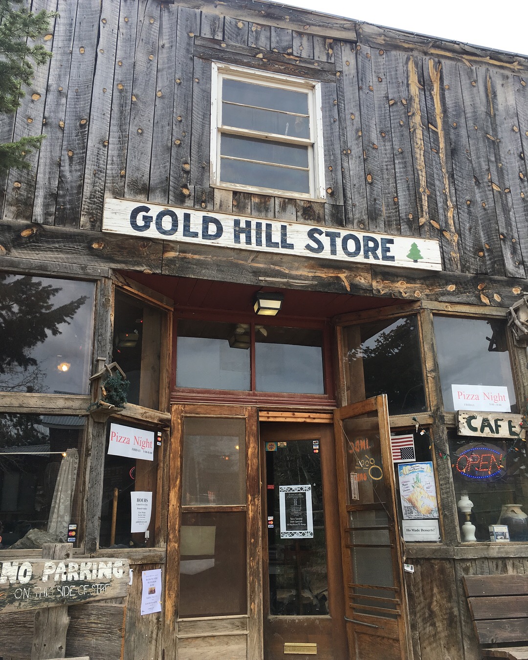
Ten miles outside of downtown Boulder, Colorado is a step back in time. Mapleton Avenue changes to Sunshine Canyon Drive; after about 6 miles of winding pavement, it switches to dirt, and then gravel. By the time you reach Gold Hill, you've climbed over 3,000 feet. A sign greets travelers with all the relevant statistics: Established in 1859, elevation 8,463 feet, population 118. There's a store and an inn and a school. There are old dogs wandering the road. There's probably some lingering snow piled up. Cyclists know to stuff a jacket in their pocket as it's usually 10-20 degrees cooler up top. 

There are several options up to the old mining town: a road from all four directions. I've climbed up two of the roads, descended one, and still have one on my list. Lickskillet is the steepest county road in the United States, and after going down twice on a road bike, it's still solidly outside of my comfort zone. Even riding the breaks the entire way, you slide and skid down the gravel. It's one-mile of between 15-20% grade. But, it empties onto the smooth-as-pudding Lefthand Canyon Drive, where coasting back to town at 30 mph feels absolutely luxurious. 

IMG_7580.JPG

I recently "raced" the pavement of Sunshine Canyon, which means I went all-out and had an average pace of just 8 mph. Then I meandered the rest of the way on the dirt to the top. I can't really explain why I love these mining towns so much. The thin air, the reminders of striking it rich, the old general store that's been selling coffee and treats for over 150 years: it all feels like a treasure--like I've done something impressive just in getting here. 

IMG_7548.JPG

I can't wait to keep climbing these roads. Eventually I'll make it up Lickskillet. Eventually I'll take the longest route and hit two mining towns in one trip. There's still gold up here: even just in the experience of the trip.